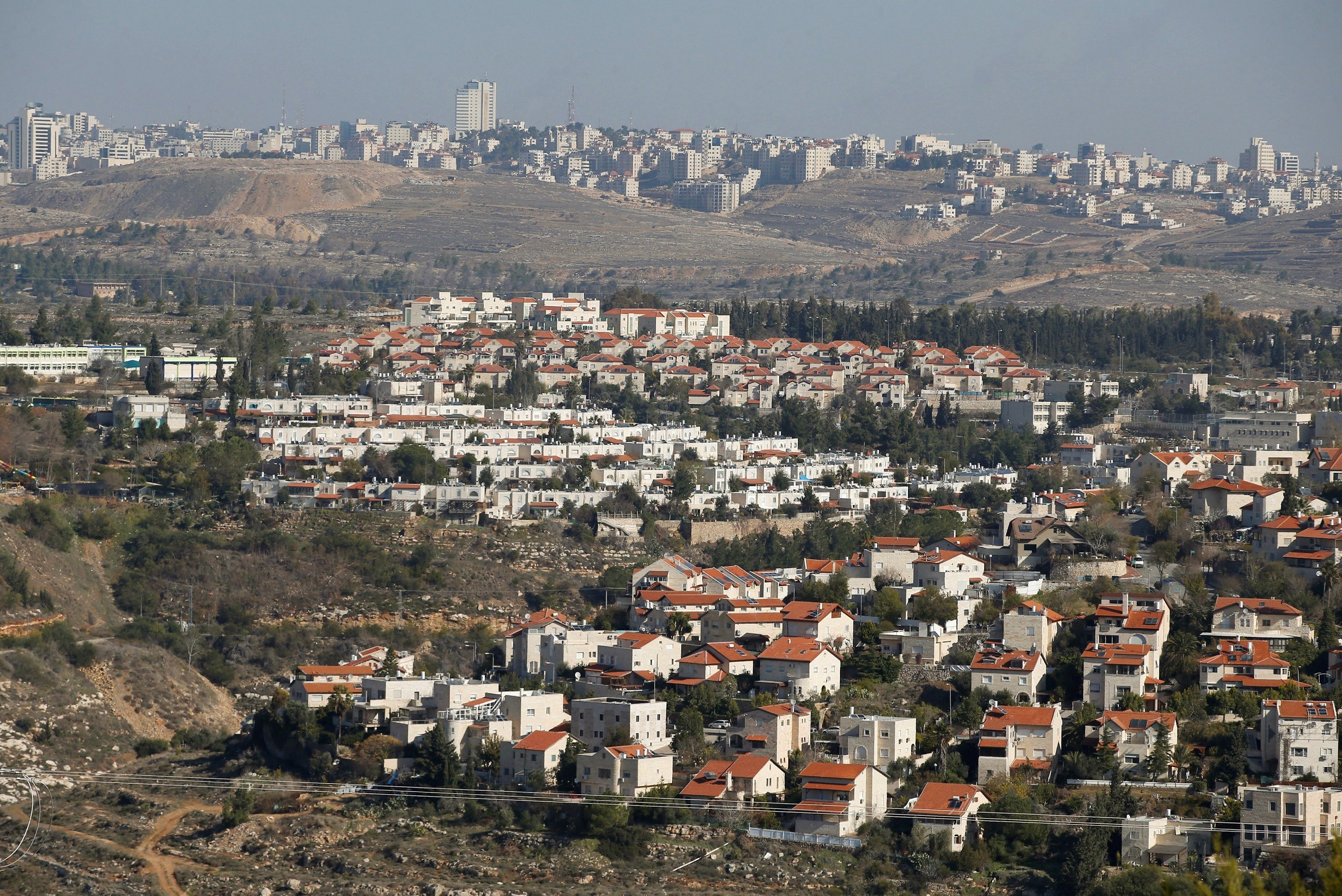
The Israeli occupation announced a new settlement plan to construct 1,700 settlement units in the “Ramot” settlement located in the Tililiya area of the southern lands of the village.
This area lies on the border between Beit Hanina and the displaced village of Lifta, as well as the village of Beit Iksa towards the west.
The Israeli occupation has subjected the village to measures that have reduced its presence, both in terms of land and urban and social existence, especially following installing the apartheid separation wall.
The village has become a semi-isolated area suffering from ongoing Israeli crimes, including night raids, assault, and vandalism.
Researcher and university lecturer Khalid Awadallah stated: ” Beit Hanina has long been the target of such measures, which have reduced the village’s land by more than 70% since 1967.”
As a result of settlement measures implemented since 1967, the village’s land has been divided into three parts: the West Bank, Jerusalem, and Area C.
In addition to the Prophet Samuel Park, which extends to the borders of Beit Hanina, the Israeli occupation seized thousands of dunams from the village.
Regarding the “Ramot” settlement, the researcher indicates that the settlement has been expanding since the 1970s towards the southern side of Beit Hanina’s lands.
Part of the settlement is built on Lifta’s lands and extends to the lands of Beit Iksa.
It continues to encroach southwards towards the important agricultural area known as the “Sahl” (Plain) area, which the occupation targets in order to make it a vital extension for this settlement.
He also highlights that the village was a target of displacement in 1948, but the operation failed, as Beit Hanina was among the villages targeted for a massacre similar to the Deir Yassin massacre.
Shortlink for this post: https://daysofpalestine.ps/?p=43077


